Legacy of Pastoralist Niche Construction Since the 17th Century
This project focuses on clarifying the interplay between humans, environment, and climate. And looks to improve anthropological understanding of land-use practices and their long-term effects on broader ecological systems. As such, this project seeks to utilize a suite of satellite remote sensing tools (including multispectral, synthetic aperture radar (SAR), and thermal data) to track anthropogenic landscape change in southwest Madagascar over the past several-hundred years. The project aims to address the following specific questions: 1) Where have pastoralist activities been predominant on the landscape of southwest Madagascar over the past 400 years? 2) How has pastoralism transformed local ecological systems since its introduction to southwest Madagascar in the 17th century? And 3) How does the impact of pastoralism compare with other subsistence strategies (i.e., coastal foraging) in this region in terms of ecological impact and modern legacy on the landscape?
The Namonte region of SW Madagascar is the focus of this project. We aim to use machine learning algorithms to identify sites, features and vegetation signatures linked to the migration of cattle pastoralists into the region beginning in the 17th century, and will use AMS radiocarbon dating to establish settlement chronologies. The arrival of pastoralists in the region has previously been studied from a historical perspective, and our project seeks to investigate the extent of likely significant transformations to landscape and local ecologies as pastoralists constructed a niche in the region.
This project is supported by a Spatial Archaeometry Research Collaborations (SPARC) Grant and a National Science Foundation Postdoctoral Fellowship (SMA-2203789). The SPARC Program is based at CAST at the University of Arkansas, and is funded by a generous grant from the National Science Foundation.
Image Carousel with 6 slides
A carousel is a rotating set of images. Use the previous and next buttons to change the displayed slide
-
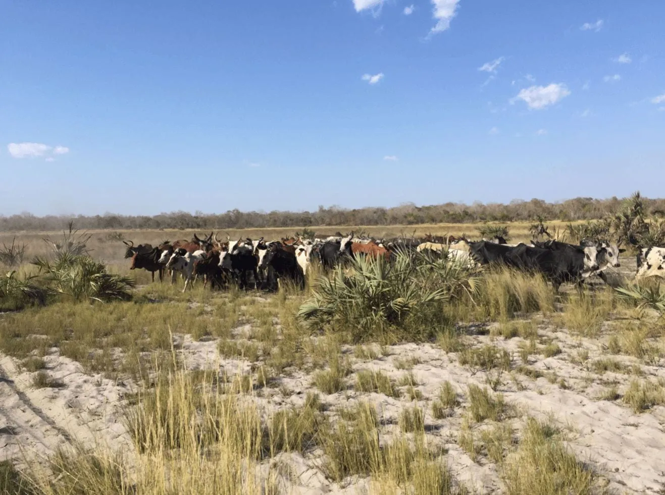
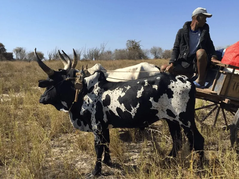
Slide 1: Legacy of Pastoralist Niche Construction
-
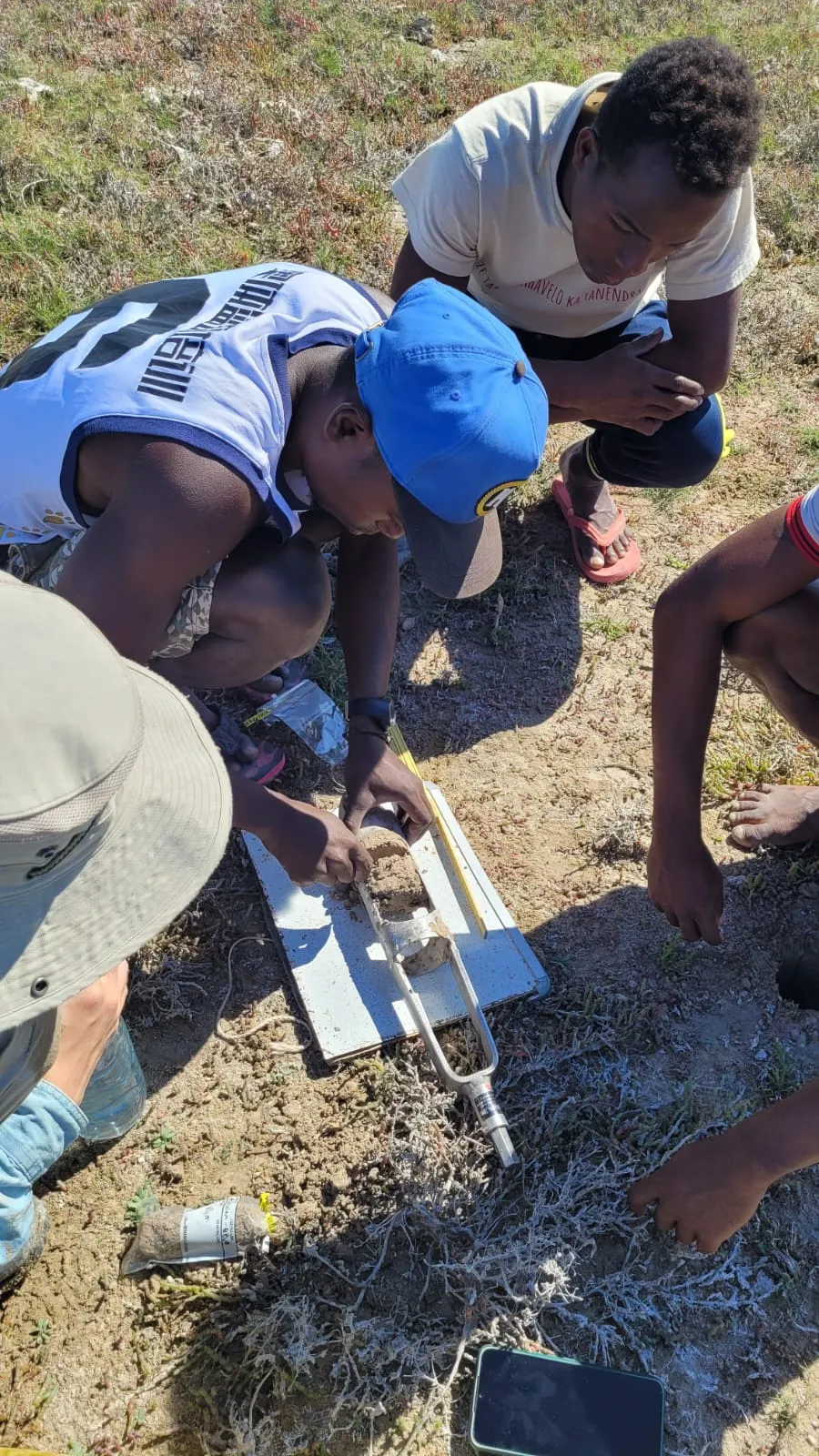
Slide 2: Legacy of Pastoralist Niche Construction
-
Slide 3: Legacy of Pastoralist Niche Construction
-
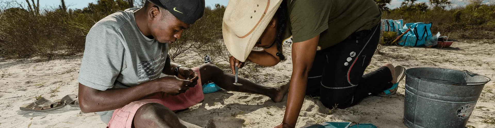
Slide 4: Sampling a soil core from freshwater pond used for animal grazing
-
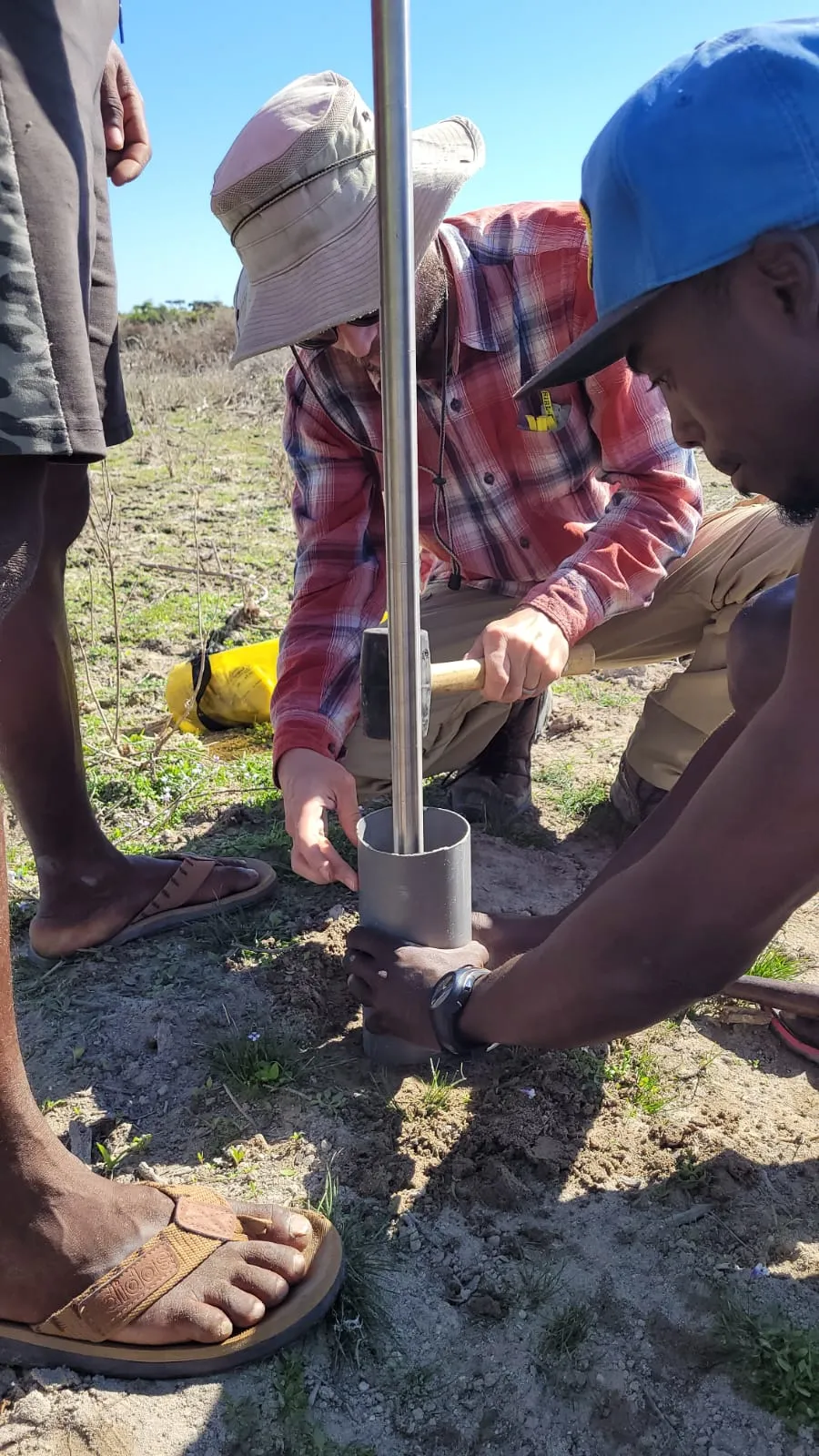
Slide 5: Setting up coring auger to collect soil samples for isotope analysis
-
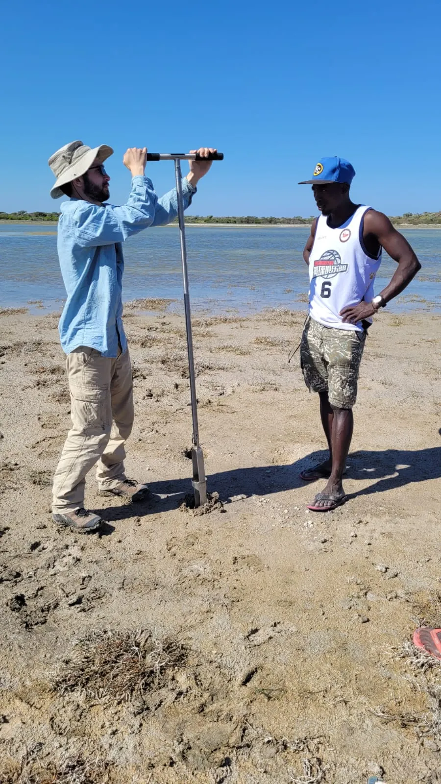
Slide 6: Dylan Davis demonstrating how to operate soil auger for coring.